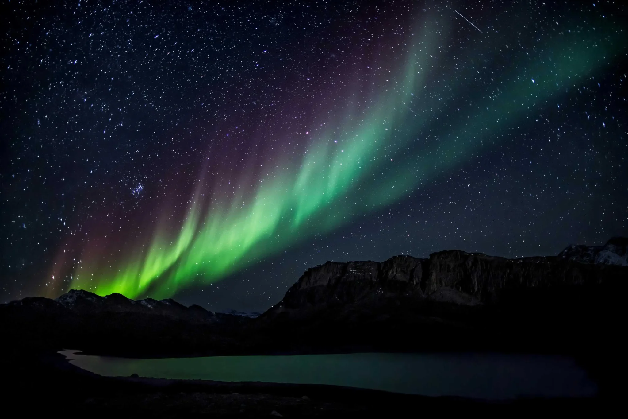
The Northern Lights, also known as the Aurora Borealis, is a natural light display that occurs in the Earth’s polar regions. This phenomenon is caused by the collision of solar particles with the Earth’s magnetic field. The result is a breathtaking display of lights that dance across the night sky, creating a spectacle of colors ranging from green to pink to violet.
Table of Contents
Also Read: Aurora Borealis: A Magic in The Sky
Latest Forecast for the Northern Lights in the U.S.
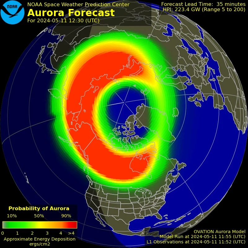
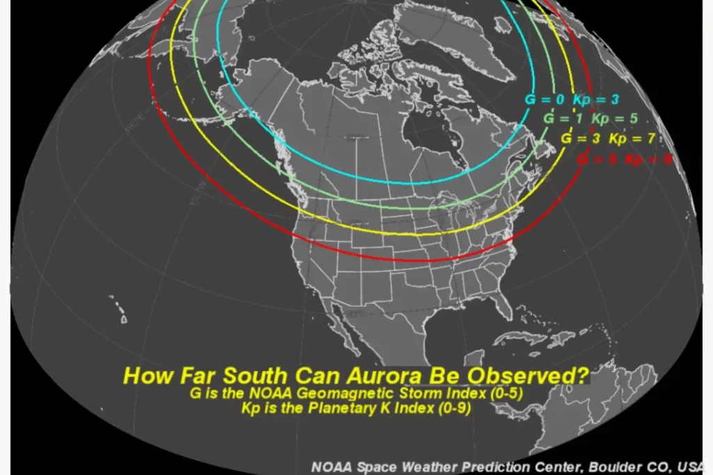
Recently, the National Oceanic and Atmospheric Administration’s Space Weather Prediction Center released a map showing the forecast for the Northern Lights in the United States. According to the map, the aurora may be visible for much of the northern half of the U.S. A red line on the map shows how far south the aurora forecast goes.

Viewing the Northern Lights
The map indicates that Americans as far south as Alabama and Northern California could be treated to a show of the Northern Lights this weekend. This is due to a powerful geomagnetic storm heading towards Earth. If the weather conditions are right, people in several areas on the map could look up and see the Aurora Borealis.

The National Weather Service’s St. Louis office suggested that people in the area should leave the city for the best possible chance to view the Northern Lights. “Get away from city lights into a dark, rural surrounding and look north,” the office said on social media.
The Impact of Geomagnetic Storms
The Space Weather Prediction Center notes on its website that people don’t need to be directly underneath the aurora to see it. Instead, it can be observed from as much as 620 miles away.
The Northern Lights are not only a beautiful nighttime phenomenon but also an indicator of the current geomagnetic storm conditions. These storms directly impact HF radio communication and GPS/GNSS satellite navigation. They are also closely related to the ground-induced currents that impact electric power transition.


